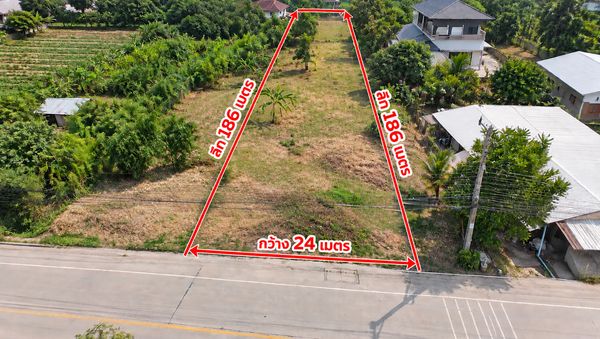
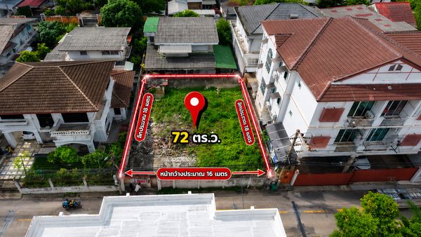
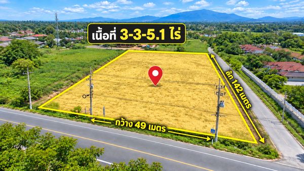
Large plot of land, 23 rai, Narerk Subdistrict, Phanat Nikhom, next to a concrete road, with drone images.
฿ 39,627,000(4,250 B./sq.w.)
Created 28/09/2026
Boosted 4 days ago
Property information
Area size
23 Rai 1 Ngan 24 sq.w.
Description
Land for sale: 23 rai 1 ngan 24 square wah, Na Roek Subdistrict, Phanat Nikhom District, Chon Buri Province, adjacent to a concrete road. The large land plot of 9,324 square wah is located in an agricultural area with nearby businesses. It is suitable for those looking for land for agriculture, a garden home, or for future development studies.
Highlights:
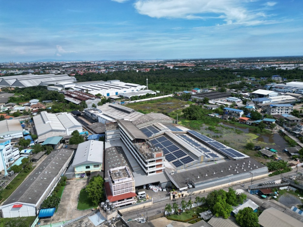
• Large land plot with drone footage available to view the area before visiting.
• Adjacent to a concrete road, providing access to the plot.
• Approximately 5.0–5.3 km from the land marker to Koh Pho Intersection, or about a 9–10 minute drive as calculated by Google Maps.
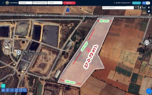
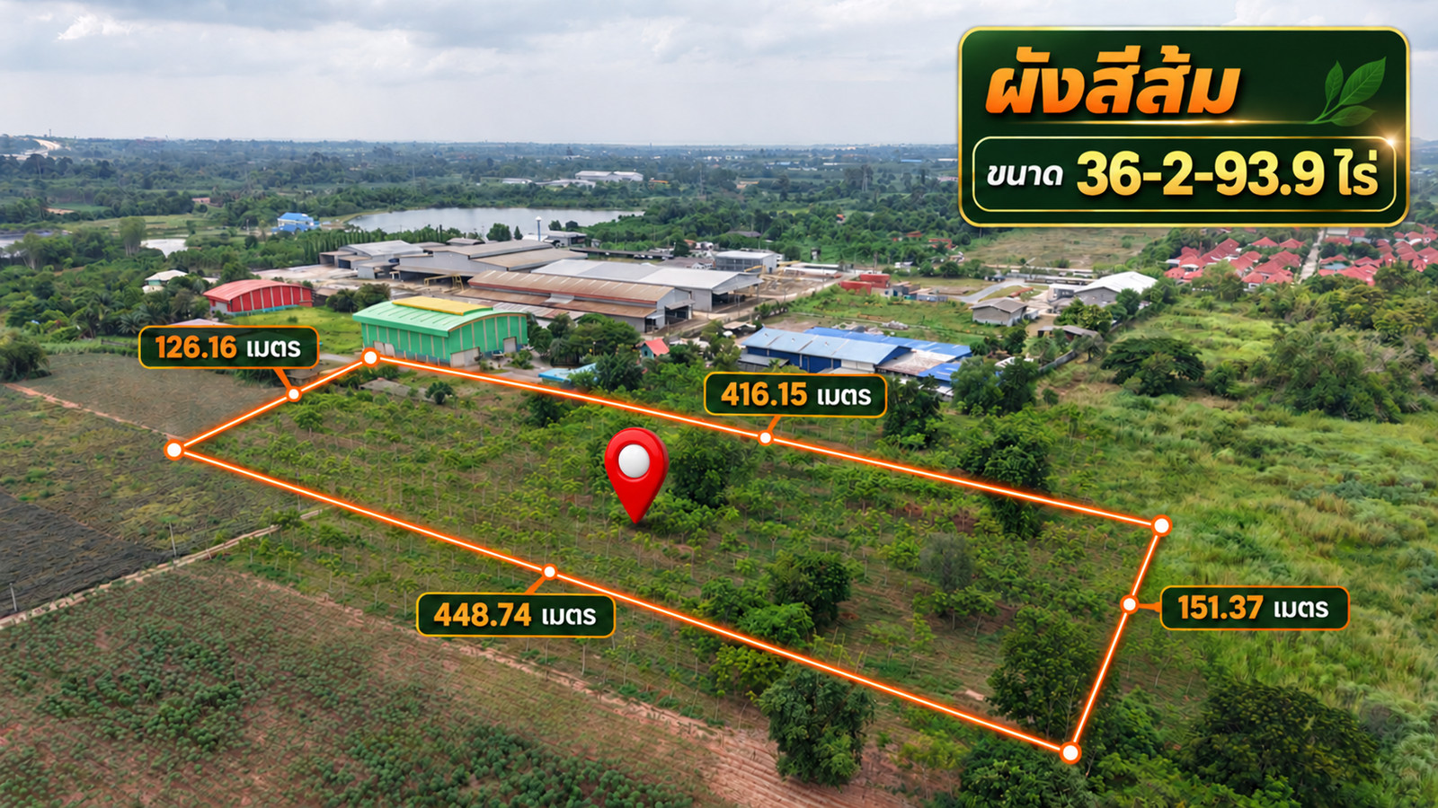
• Images showing the boundary lines and a conceptual plan for dividing the land into plots of approximately 1–2 rai each, with internal roads of approximately 6 meters, are available for reference.
Approximate dimensions based on the initial illustration: Top 253.81 m, Left 191.80 m, Right 125.11 m, and Bottom 227.39 m. Actual dimensions and boundaries should be confirmed by surveying.
Some areas have standing water. It is recommended to visit the actual plot to assess the soil level, drainage, and land preparation costs. The plot division plan is conceptual only and has not been approved for subdivision or construction. For any type of land use, please check the town planning and relevant permits before proceeding.
Coordinates: 97F3+V8H Phanat Nikhom, Chon Buri
Map: https://maps.app.goo.gl/7KEb6sKb616NiYyJ6
Selling Price: [Insert Price]
Interested parties can request further details or schedule a visit to the actual land.
| Experthome168
garden home, or land to hold while exploring future development options.
**Property highlights**
• Large parcel with drone images available to review before a site visit
• Accessible by concrete road
• Approximately **5.0–5.3 km from Ko Pho Intersection**, or around **9–10 minutes by car**, based on routes calculated by Google Maps
• An illustrative boundary image and a **conceptual subdivision plan** showing plots of approximately 1–2 rai each, with a proposed internal road approximately 6 meters wide
**Approximate side lengths shown in the illustrative image:** top 253.81 m, left 191.80 m, right 125.11 m, and bottom 227.39 m. Actual dimensions and boundaries should be confirmed by a land survey.
Some parts of the land have standing water. Buyers are encouraged to visit the site to assess ground levels, drainage, and potential land improvement costs. The subdivision plan is conceptual and has **not been approved**. Buyers should check applicable land use rules and permit requirements before proceeding with any proposed use or development.
**Location:** 97F3+V8H, Phanat Nikhom, Chon Buri
**Map:** https://maps.app.goo.gl/7KEb6sKb616NiYyJ6
**Asking price:** [Insert price]
For land details or to arrange a viewing, contact **Tee Bangbon**
**Tel: | Experthome168**
**土地出售|春武里府帕那尼空县 Na Roek 区,23 months 1 week 24平方哇,临混凝土道路**
土地总面积 **9,324 平方哇(约 37,296
(square meters)**. The plot is large, surrounded mainly by agricultural land, with businesses nearby. Suitable for buyers considering agricultural planting, rural housing, or purchasing for future development research.
**Plot Highlights**
• Drone photos are provided to understand the site conditions before scheduling a viewing.
• Concrete roads provide access to the plot.
• Approximately **5.0–5.3 kilometers** by car from the marked map location to the Ko Pho intersection, with an estimated driving time of about **9–10 minutes** on Google Maps.
• A **conceptual subdivision plan** is provided, showing plot boundaries and proposed internal roads approximately 6 meters wide, with each sub-plot being about 1–2 rai.
**Diagram side lengths:** Top side 253.81 meters, left side 191.80 meters, right side 125.11 meters, bottom side 227.39 meters. Actual side lengths and boundaries are subject to official survey results.
Some areas of the plot are waterlogged. It is recommended to inspect the ground elevation, drainage, and land preparation costs on-site. The subdivision plan is for reference only and **has not been approved**. Before planning construction or business activities, applicable land use regulations and relevant permit requirements should be verified.
**Location:** 97F3+V8H, Phan Thong District, Chonburi Province
**Map:** https://maps.app.goo.gl/7KEb6sKb616NiYyJ6
**Price:** [Fill in price]
For plot details or to schedule a site visit, please contact:
**Tee Bangbon | | Experthome168**